Mapping Census Data in R
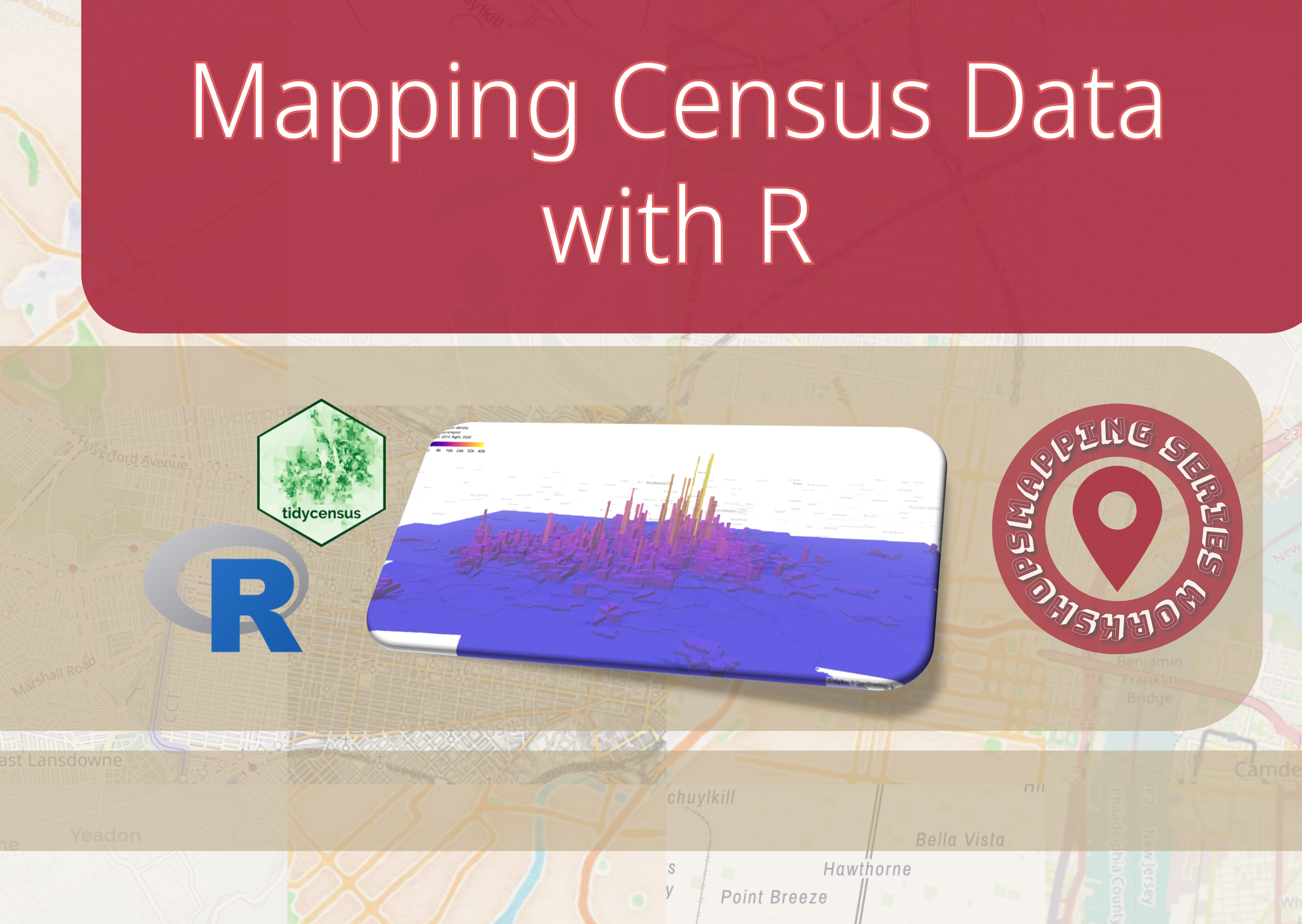
This tutorial, ‘Mapping Census Data in R,’ teaches participants how to access, analyze, and visualize US Census data using R programming.
This tutorial, ‘Mapping Census Data in R,’ teaches participants how to access, analyze, and visualize US Census data using R programming.
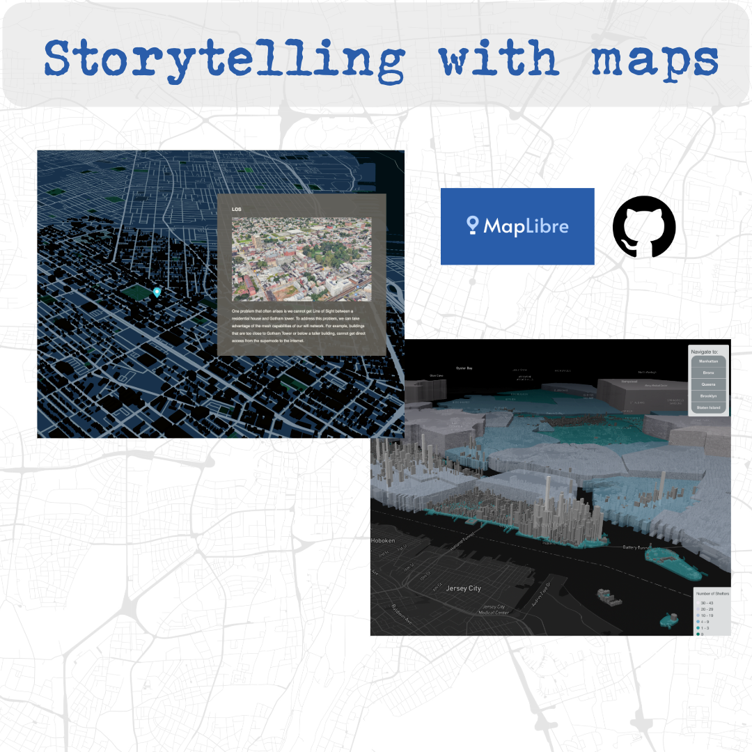
‘Storytelling with MapLibre’ tutorial teaches participants how to create interactive map-based stories without coding experience.
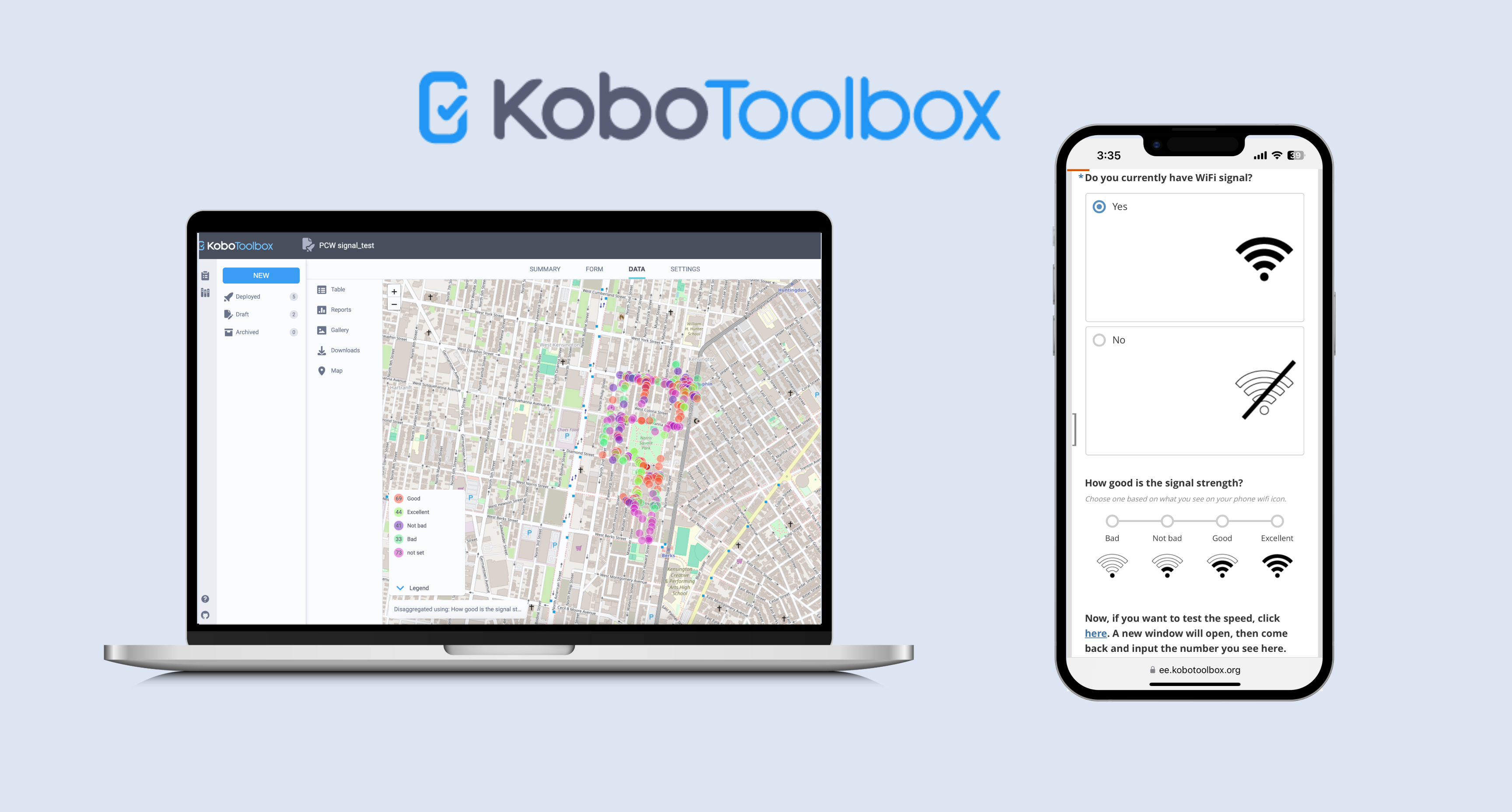
This is a comprehensive tutorial on KoboToolbox, an open-source platform for data collection, management, and visualization widely used by nonprofit organizations.
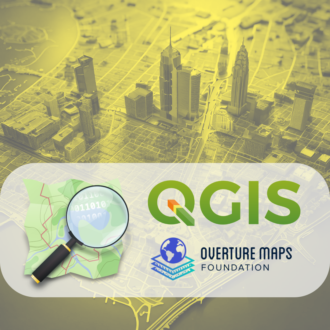
This tutorial provides a comprehensive guide to accessing, exploring, and downloading open geospatial data from OpenStreetMap (OSM) and Overture Maps for use in Geographic Information Systems, specifically QGIS.
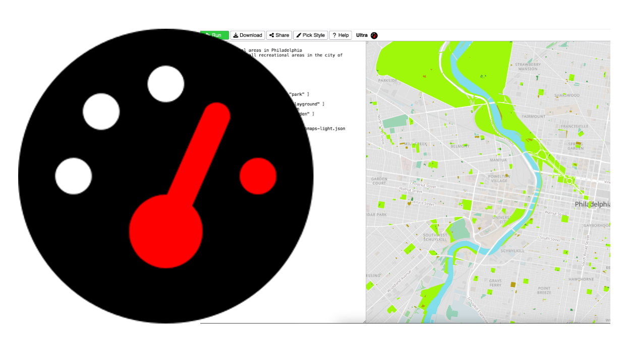
This tutorial shows you step-by-step how to build map queries, style map elements with different colors, add interactive features like popups and navigation controls, and share your finished maps online. Using a practical example of mapping parks in Philadelphia, it teaches beginners how to transform geographic data into visually appealing, useful maps without needing advanced technical skills.